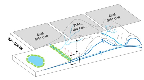
Welcome!
The Global Hydrodynamics Lab (PI: Dai Yamazaki) is part of the U-Tokyo Global Hydrology Group at the Institute of Industrial Science, The University of Tokyo.
The Yamazaki Lab is located at the U-Tokyo Komaba-2 Research Campus
(Map, Directions) in central Tokyo.
Our studies mainly focus on the dynamics of terrestrial water on a global scale, using modelling, remote sensing, and data integration approaches.
東京大学 グローバル水文学グループの一部である全球陸域水動態研究室( PI:山崎 大 ) のWebページです。 ページ下部に日本語情報があります。
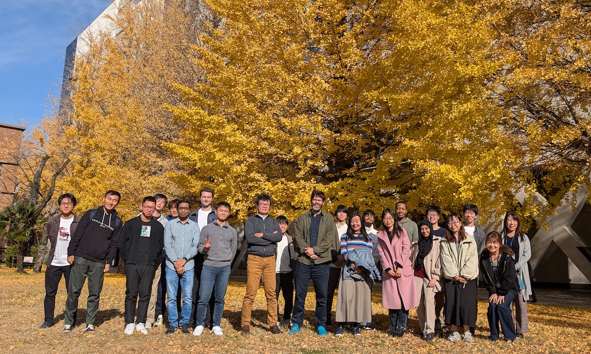
Group photo in Komaba-2 Campus (Dec 2024)
If you are interested in our team, please visit the pages below:
- Team member list
- How to join our team?
- Promotion (lab highlights)
- Yamazaki’s CV
- Monthly Public Seminar
Our research activities are summarized in:
- Research targets and methods
- Publications and outcomes
- PI: Yamazaki’s Google Scholar
- List of student academic theses
- List of awards
Our main research products are here:
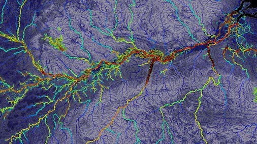
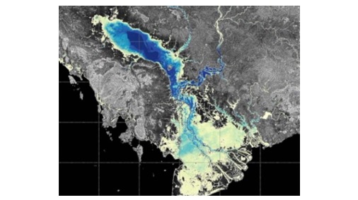
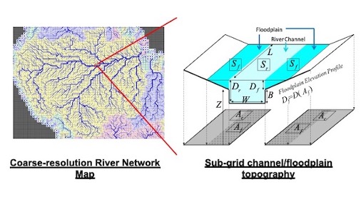
- CaMa-Flood : Global river model
- MERIT Hydro: global river data
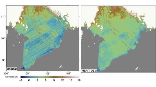
- MERIT DEM : global topography data
- J-FlwDir : Japan River Mapg
- SplashTune! Rainfall-Runoff Game
What is Global Hydrodynamics?
“Global Hydrodynamics” is the study of the dynamics of terrestrial water across the entire Earth.
It focuses on the movement and storage of surface and subsurface water at multiple temporal and spatial scales, from local to global, including rivers, lakes, wetlands, soil moisture, and groundwater.
It also covers interactions with related Earth surface processes, such as precipitation, evaporation, coastal and ocean dynamics, biogeochemistry, and climate change.
We extensively use modelling, remote sensing, and data integration approaches to cover the entire globe.
At the same time, we value in situ observations to identify key processes in global hydrodynamics and to ensure the robustness of model conceptualization.
In addition to the natural hydrological cycle, we assess the impacts of terrestrial water variability on human well-being (e.g., floods, water resources, and ecosystem services).
We also aim to understand societal responses (e.g., water resource and hazard management) and their feedbacks to the global hydrodynamic system.
Who are we?
Our lab is one of the world’s leading research hubs in hydrological science, consisting of researchers and students with diverse academic backgrounds, including Earth science, civil engineering, geography, spatial information science, and computational science.
All research staff members belong to the Institute of Industrial Science.
In addition, we are actively involved in education through the Department of Civil Engineering (Graduate School of Engineering) and the Graduate Program of Environmental Sciences (Graduate School of Arts and Sciences).
Monthly Public Seminar
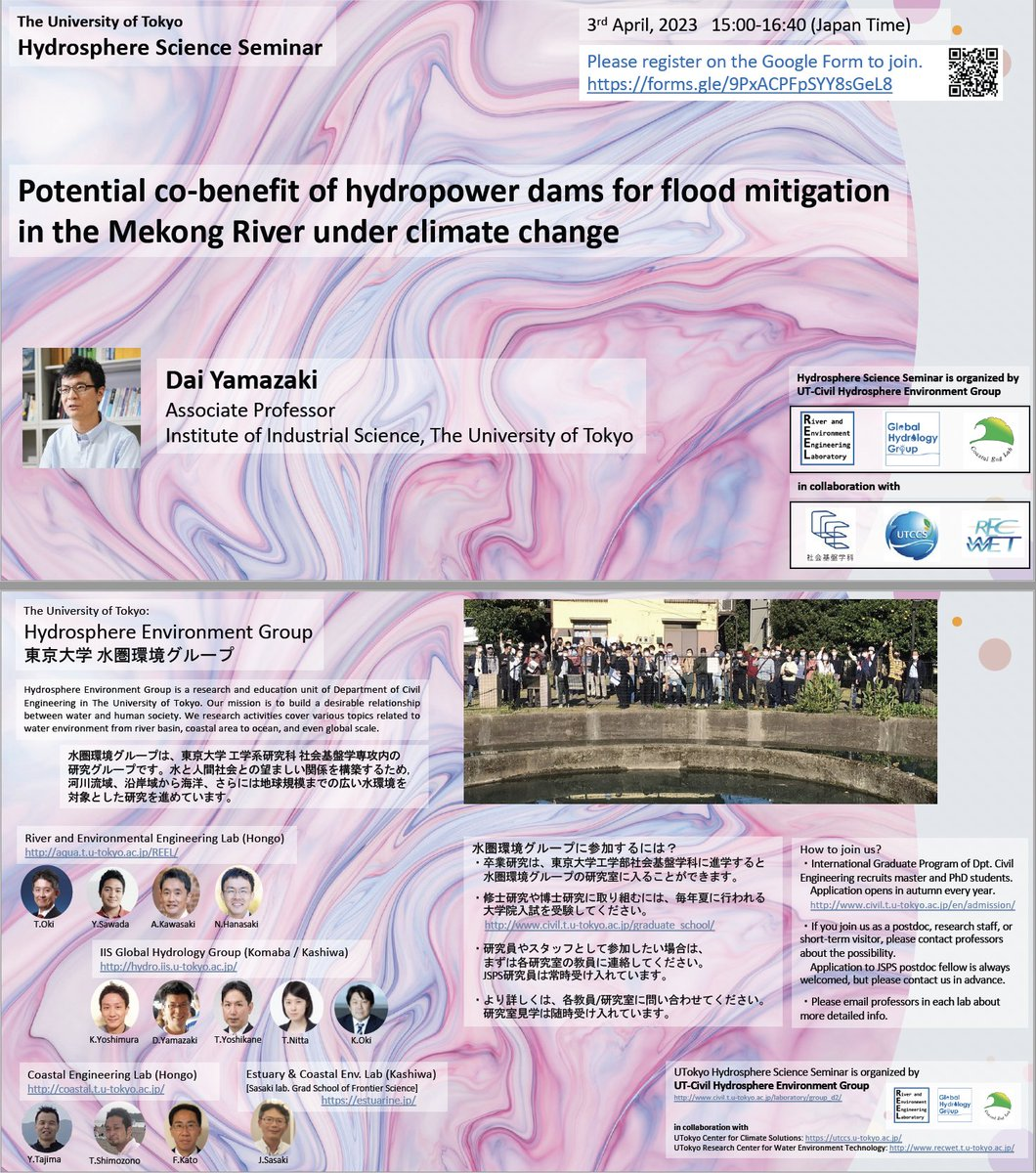
We host a monthly public seminar series called the “Hydrosphere Science Seminar”, which is usually held from 3:00 PM on the first Monday of each month via Zoom.
This is a joint seminar organized by the UTokyo Hydrosphere Environment Group.
Anyone interested in our activities is welcome. Please visit the seminar webpage for more detailed information.
CaMa-Flood modelling community
Yamazaki Lab is the primary development base for the global river model CaMa-Flood.
CaMa-Flood is a global-scale river model that combines high computational efficiency and high accuracy.
The model is now widely used by many users, including some meteorological agencies, for a wide variety of applications.
The source code of the CaMa-Flood model is published as an open-source project under the Apache 2.0 license, and we welcome open collaborations to further develop the model and enable more advanced applications.
The model package (including the minimum datasets required to run test simulations) is distributed via the product webpage, while the latest source code is managed on GitHub.
CaMa-Flood source code repository on GitHub
If you are interested in contributing to the CaMa-Flood model, please visit our
CaMa-Flood GitHub repository.
Review paper on the development history of CaMa-Flood
To provide a comprehensive and citable reference on the conceptual background and long-term evolution of CaMa-Flood, the following review paper summarizes the development history of CaMa-Flood from 2010 to 2025, with a particular focus on the catchment-based macro-scale floodplain modeling approach.
Yamazaki, D. (2025)
Advancing global river hydrodynamics simulations by catchment-based macro-scale floodplain modeling approach
Geoscience Letters, 12, 72
DOI: 10.1186/s40562-025-00452-z
This paper serves as an up-to-date reference for researchers interested in the theoretical foundations, model evolution, and key scientific advances underpinning CaMa-Flood.
CaMa-Flood Annual Briefing
The next CaMa-Flood Annual Briefing 2025 will be held on 13 March 2026 (Friday), online via Zoom.
The CaMa-Flood Annual Briefing is a yearly event that summarizes CaMa-Flood-related research achievements published in the previous year.
The briefing features short presentations by contributors, and its outcomes are published as an Annual Progress Report (PDF) together with recorded presentation videos.
- Registration form: Google Form
More information on registration, deadlines, and previous briefing materials is available on the
CaMa-Flood Annual Briefing webpage.
CaMa-Flood developer/user international meeting
We host the CaMa-Flood Developer/User International Meeting approximately every two years, focusing on in-depth technical discussions and future directions of the model.
The first CaMa-Flood Developer/User Meeting was held on 5–6 July 2024 at the Institute of Industrial Science, The University of Tokyo.
Meeting webpage is here
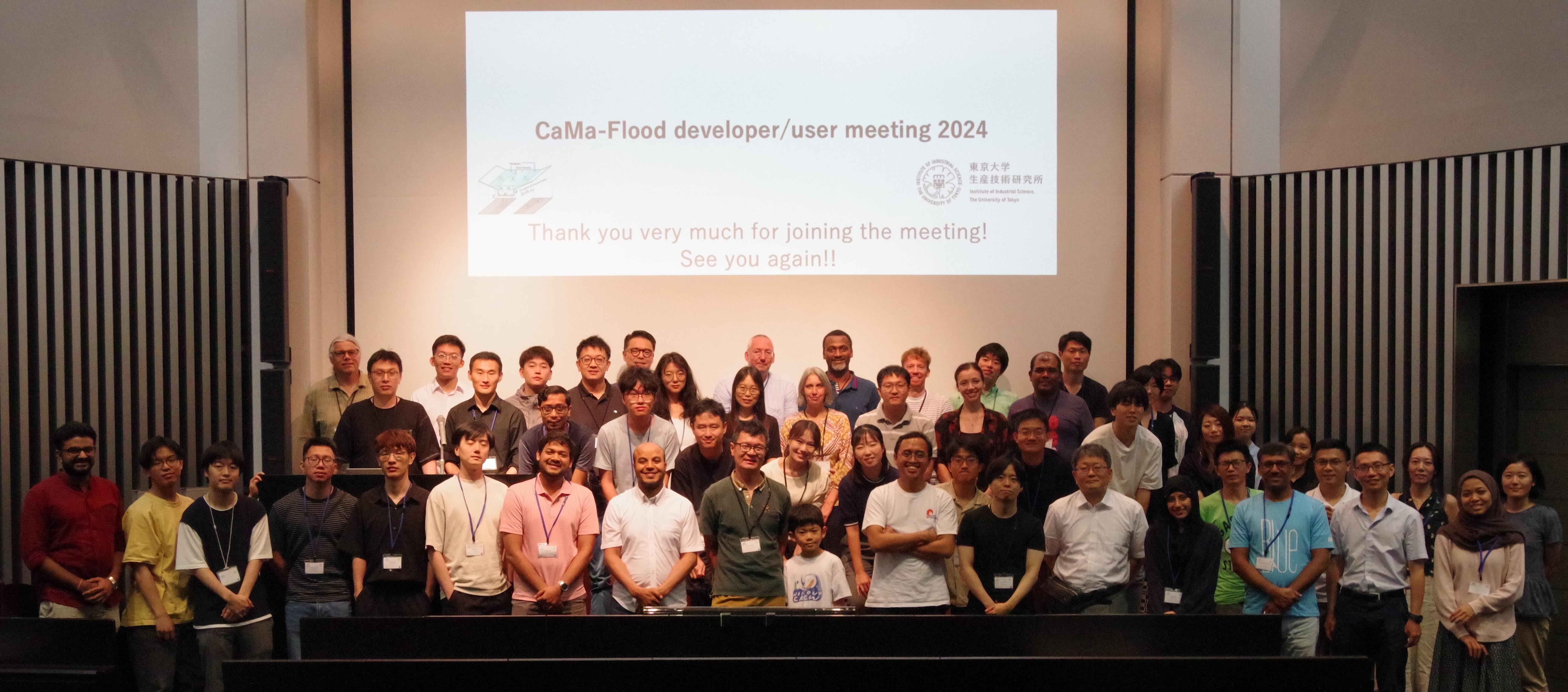
The next CaMa-Flood Developer/User Meeting 2026 will be held on
10–11 September 2026 as a face-to-face, on-site meeting at ECMWF, Reading, United Kingdom.
Further details will be announced later.
Related international conference session
We will also organize a Large-scale River Modeling session at AOGS 2026, to be held in August 2026 in Fukuoka, Japan.
This session will provide a forum for presenting recent advances in the development and applications of large-scale river models, and for discussing future challenges and directions.
Rainfall-Runoff Modelling Game
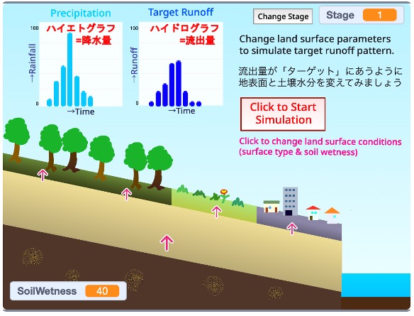
We have developed “SplashTune,” a rainfall–runoff modeling game that allows users to learn hydrological processes in an interactive and enjoyable way through simulation.
Please visit our webpage to play the game and explore the fundamentals of rainfall–runoff processes.
雨が降ってから河川に水が流れ出るまでの仕組みである「降雨–流出プロセス」を、シミュレーションを通じて楽しく学べる降雨–流出モデリングゲーム「SplashTune」を開発しました。
Webページ上でゲームを公開していますので、ぜひ遊んでみてください。
(In Japanese)
我々の研究テーマである「全球陸域水動態」は、地球全域を対象として、陸域における水の流れとその変動を研究する分野です。
河川・湖沼・湿地・土壌水分・地下水といった陸水の貯留および輸送プロセスを、ローカルからグローバルまで幅広い空間・時間スケールで解明することを目的としています。
陸水そのものだけでなく、降水・蒸発散・沿岸海洋・地球生物科学・気候システムなど、関連する地表・地球システムプロセスとの相互作用も研究対象としています。
地球全域をカバーするため、研究手法としては主にモデリング、リモートセンシング、データ同化・統合を用いていますが、全球陸域水動態における重要なプロセスを特定し、モデルのロバストさを担保するために、現地観測などに基づく詳細な水文研究も重視しています。
また、自然の水文循環の理解にとどまらず、その変動が人間社会に与える影響(洪水、水資源、生態系サービスなど)の評価にも取り組んでいます。
さらに、水文プロセスと人間社会との相互作用やフィードバックを理解することを目指しています。
研究内容は、地球システム科学、土木工学、地理学、空間情報学、計算機科学など多様な分野にまたがっており、研究スタッフ、在籍学生、外部の共同研究チームは非常に多様なバックグラウンドを有しています。
本研究室の教員および研究員は東京大学生産技術研究所を拠点としており、学生は工学系研究科 社会基盤学専攻、または総合文化研究科 国際環境学プログラム(GPES)に所属しています。
山崎研究室に興味がある研究者・学生の方へ
研究内容の詳細についてはPI 山崎のページ、研究紹介ページ、研究室メンバーリストなどをご覧ください。
山崎研究室への参加を希望される場合は、How to join our team?をご参照ください。
また、研究室のハイライトはPromotionにまとめています。
具体的な研究成果については、以下のページをご覧ください。
洪水リスク研究に興味がある企業の方へ
産学連携による洪水リスクの理解と低減を目的として、情報交換および議論の場である「洪水リスク研究会」を開催しています。
詳細については、以下の資料をご参照ください。
- 洪水リスク研究会 説明PDF
- 参加方法については、生産技術研究奨励会のWebページ をご確認ください。
Products (code & data)
CaMa-Flood: Global hydrodynamic modelMERIT DEM: High-accuracy global DEM
MERIT Hydro: Global river topography
J-FlwDir: Japan Flow Direction Map
SplashTune!: Rainfall-Runoff Game
G3WBM/G1WBM: Global 3s/1s water map
OSM Water Layer: Water layer from OpenStreetMap
GWD-LR: Global River Width Map
Meetings and seminars
CaMa-Flood annual briefing:online progress report
CaMa-Flood developer/user meeting:
onsite gatherling
UTokyo Hydrosphere Science Seminar:
monthly public lecture
Lectures
PI Yamazaki provides below classes in U-Tokyo社会基盤学科 (学部:Jp)
- 水圏デザイン基礎 (A1 term)
- 水文学 (A2 term)
Dpt.CivilEng. (Graduate:En)
- Advanced Hydrology (S1 term)
- Hydrosphere Science Project (S1 term)
- Sediment Transport in Hydrosphere (A12 term)
- Flood Disaster Simulation (A12 term)
Curriculum of Dpt.Civil
GPES (Graduate:En)
- Materials Systems & Dynamics II (S1 term)
Curriculum of GPES
- 教養学部 (駒場生:Jp)
UROP:学部学生のための研究入門コース (S term & A term)
学術フロンティア講義「気候と社会」 (S term & A term)
学術フロンティア講義「流れ」 (A term)
Lab News (Twitter/Facebook)
For more detail, please visit our Twitter Facebook LinkedIn Instagram
